Roc GPS Preview
We have TwoNav’s Roc GPS unit for review, here’s some brief details.
We recently took a look at Spanish brand TwoNav’s range of GPS units and now have their Roc GPS to play with. TwoNav have a background in GPS mapping for outdoor sports like paragliding. After creating their Land mapping software they went on to produce their own devices for outdoor athletes. Later they moved their production facilities to Spain, which is where the Roc GPS is manufactured.

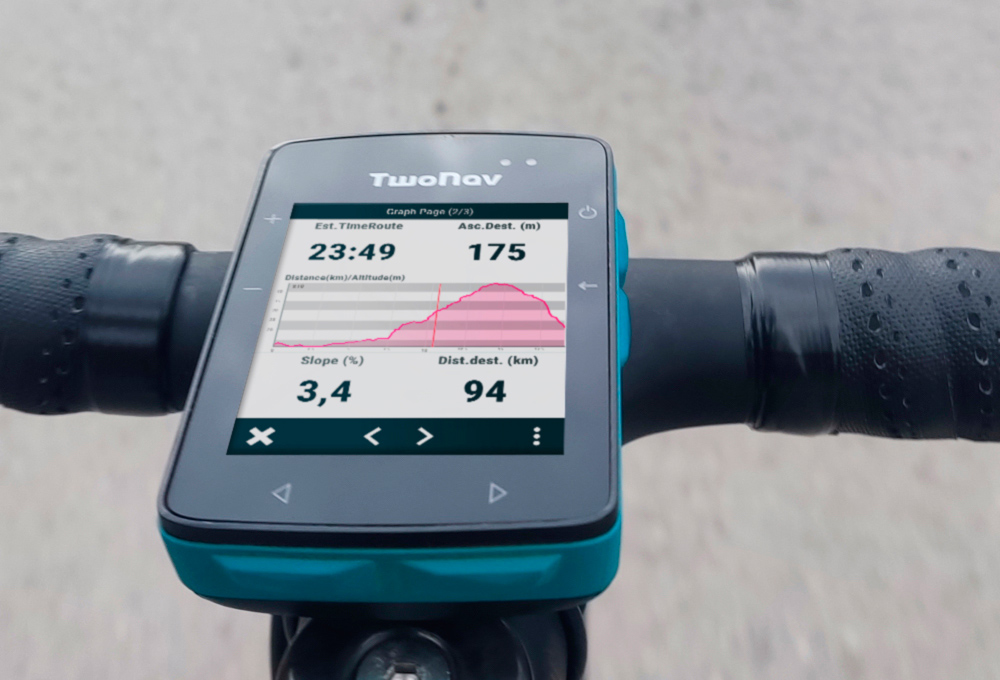
The Roc GPS is TwoNav’s newest cycling device, which they claim is the “smallest GPS with the most advanced mapping on the market”. A big claim that, excuse the pun! At 58x90x20mm it is slightly smaller than the Wahoo Elemnt but marginally bigger than the Garmin 540. Weight-wise it outweighs the Wahoo and Garmin by about 30 grammes. Viewable screen size is the same at 69mm, measured diagonally, which is 2.7″.

How big do you want it?
Personally I’m not a fan of big screens, unless I’m just using it for navigation. If I were to start doing a lot of touring, then a big screen would be useful. Finding a route when you’ve got a bigger screen is easier. However for the mix of riding I’m doing, a smaller device works better. I don’t have to worry about it shaking loose off-road or being overkill in a race.

So while it does just squeak under some GPS devices when it comes to size, I’m guessing TwoNav are more focussed on its mapping abilities. When it comes to route-finding and navigation on the bike, for me it’s a must. I love taking my bikes to new places to ride, but I don’t love ending up on a major road. So having a GPS unit that I can either load a route on to or even better, route on the fly is a must.
OS maps
With TwoNav’s background in online mapping, I’m interested to see how good the Roc GPS is at not letting me get lost. And if I do, I want to know if it can get me out of trouble and back on route. This should be easier, particularly off-road as I’ll be able to download Ordinance Survey maps. Their maps of the UK are superb when heading off-road and can be had for 75p each; a bargain. My only worry is whether the screen is big enough to see all that detail. If it is, then it will make for a great companion when wandering around new areas.
Opening the Roc GPS box
I’m glad to see that the Roc GPS comes in a plain card box. No shiny, waxed carton with loads of cellophane and plastic padding. Just a simple card box, with card internals, makes recycling a lot simpler. Inside the box you get the device, a magnetic charger cable, various mounting adapters, instructions and a 10% off voucher. The last is a nice touch.

When it comes to mounts I do like an out-front option, it’s a bit easier to see when riding. TwoNav do offer it as an optional extra, or as a bundle. Another accessory I’d like is a leash for the device. I’ve lost one GPS unit on a bumpy road and now always tie mine down now. Fortunately there is a mounting point for a leash and you can get one from the TwoNav store.
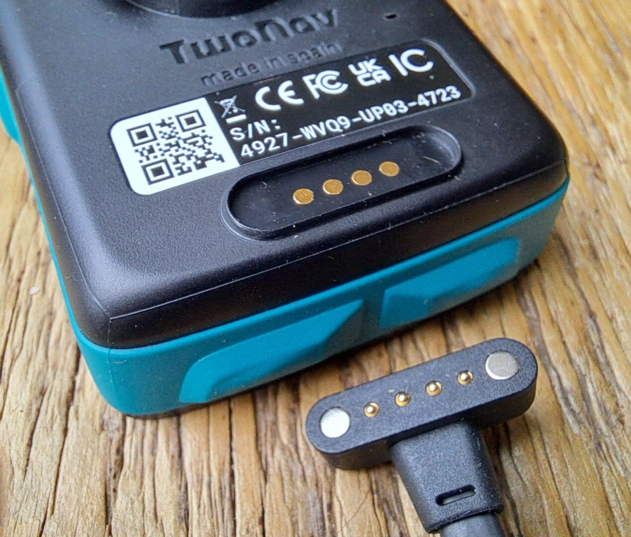
Charging is via what TwoNav call a Magnetic Pogo. This means you don’t have to worry about water getting through a charging port, but does mean you have to worry about losing your cable. You can buy a replacement from the TwoNav website if you lose yours.
Roc GPS Specs
Physical characteristics
| Dimensions | 58 x 90 x 20 mm* *23 mm con QuickLock |
| Weight | 120 gr |
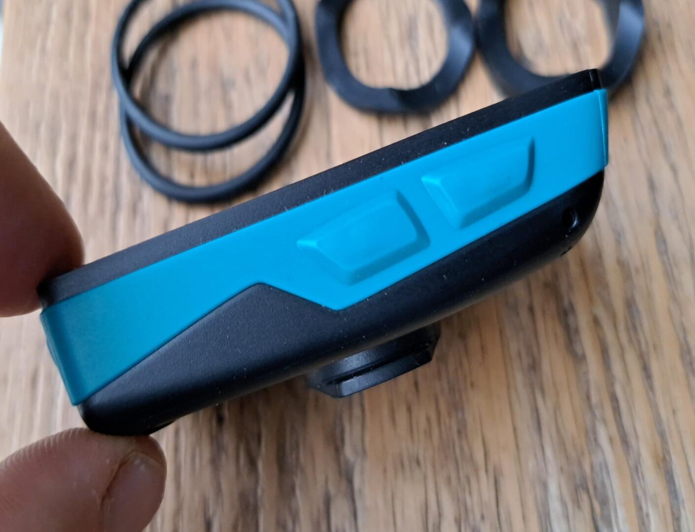
| Buttons | 2 frontal + 4 side |
| Joystick | |
| Water/dust/mud resistant | IP68 |
| MIL-STD-810 certification | Temperature, shock, water and vibration |
| Resistant to extreme temperatures | -20 °C ~ 70 °C |
Screen
| Type | Blanview with Optical Bonding and automatic backlight |
| Touch | Yes |
| Dimensions | 2.7’’ |
| Resolution | 240 x 320 pixels |
| Backlight | Yes |
Power supply
| Light sensor | Yes |
| Battery capacity | 2500 mAh |
| Normal battery life | 18 h |
| Battery type | Integrated |
| Charge port | Magnetic Pogo |
Tools
| Full connect | Yes |
| GPS | Yes |
| Galileo | Yes |
| Glonass | Yes |
| Beidou | Yes |
| SBAS/EGNOS | Yes |
| Bluetooth | Dual |
| Wi-Fi | 2.4 Ghz/5 Ghz |
| Audio | Buzzer |
| Barometer | Yes |
| Digital compass | Yes |
| Accelerometer | Yes |
Functions
| Customisable sports profiles | Yes |
| Map overlay | Yes |
| 3D map display | Yes |
| Create unlimited waypoints, routes and tracks | Yes |
| Download maps and routes from online providers | Yes |
| Advanced route editing | Yes |
| Calculate on-road navigation | Yes |
| Estimated time of arrival at destination | Yes |
| Workouts by time, distance, heart rate and pace | Yes |
| TrackAttack workouts | Yes |
| Estimate of calories burned | Yes |
| Adjustable alarms | Yes |
| Automatic and manual laps | Yes |
| Real-time altitude graphic | Yes |
| Over 200 real-time data fields | Yes |
| Customisable data pages | Yes |
| Customisable device buttons | Yes |
| Live broadcast with SeeMe™ | Yes |
| Emergency alerts with SeeMe™ | Yes |
| Compatible with geocaching | Yes |
| Compatible with e-Roadbooks | Yes |
| Auto-sync with the GO cloud™ | Yes |


